Eleven riding areas across seven states. Each one downloads to your phone, so the map, the trails and their ratings keep working with no signal.
CABig Bear · Johnson Valley · Rubicon Trail
COAlpine Loop
NCUwharrie
SDBlack Hills
TNWindrock Park
UTLittle Sahara · Moab · Sand Hollow
WVHatfield-McCoy
Trail data from OpenStreetMap, the U.S. Forest Service and the Bureau of Land Management. More areas are being added.
Honest difficulty ratings.
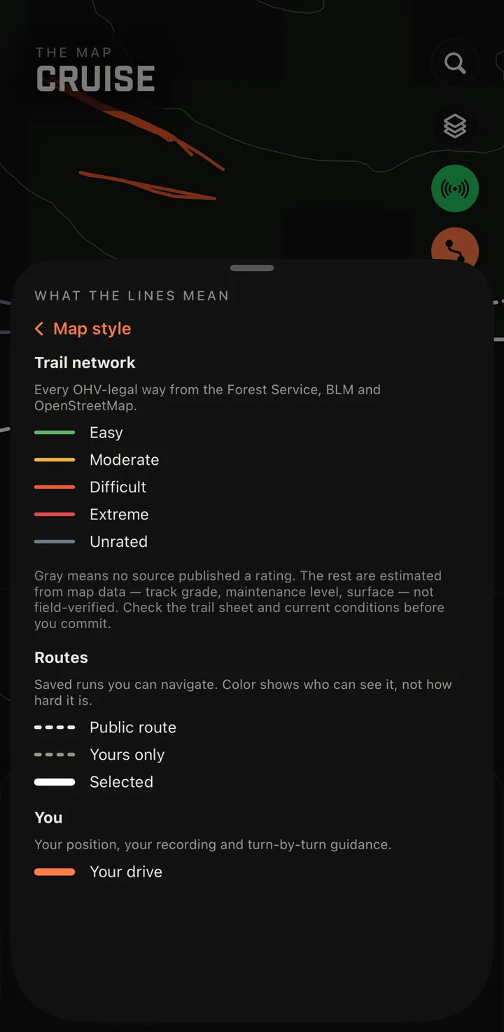
Trails are colored easy, moderate, difficult or extreme. When nobody has published a rating, the trail stays gray and says Unrated — Ohver doesn’t guess. Every trail shows where its rating came from, so you know how much weight to give it.
Easy
Moderate
Difficult
Extreme
Unrated
Know the trail before you’re on it.
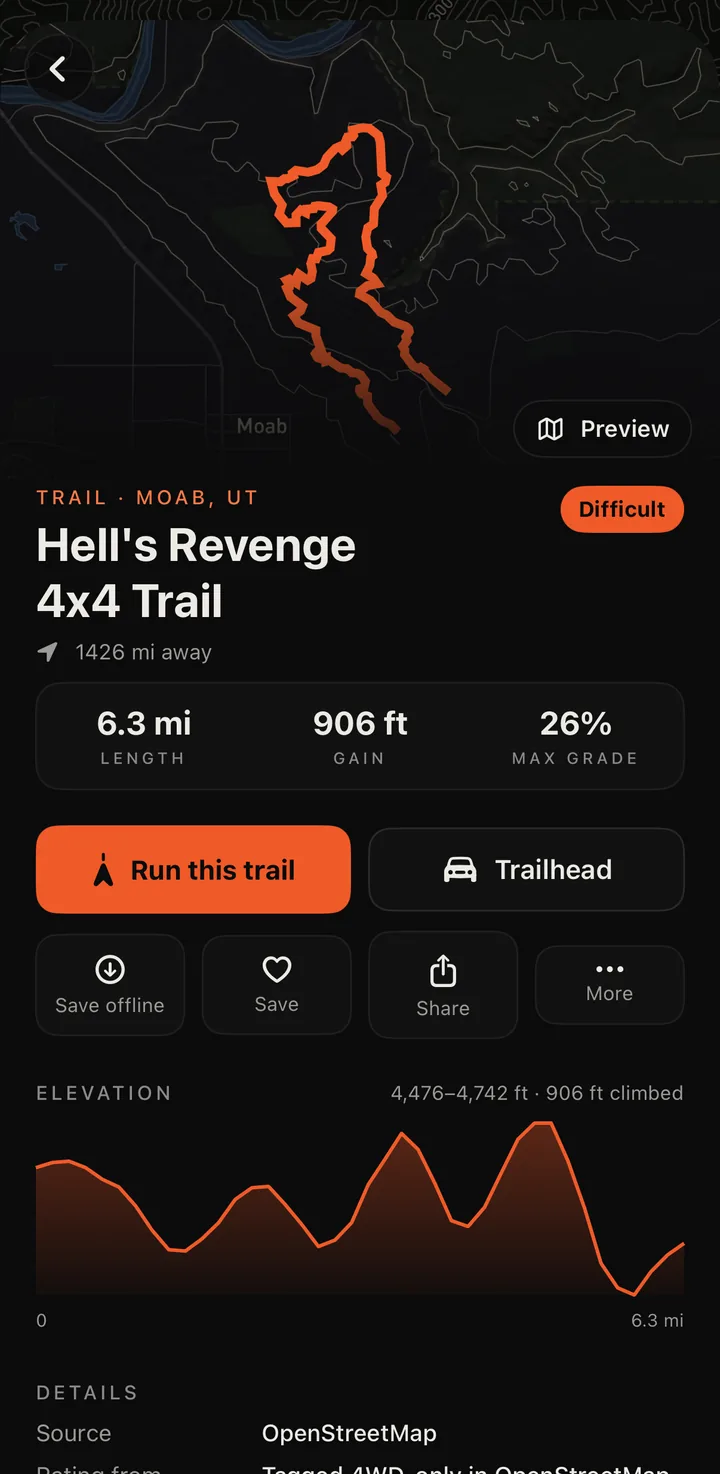
Length, elevation gain, maximum grade and an elevation profile for every named trail, with the source of the data. Save a trail offline before you drive out of coverage, then run it with guidance that follows the trail itself — not the nearest road.
Keep the group together.
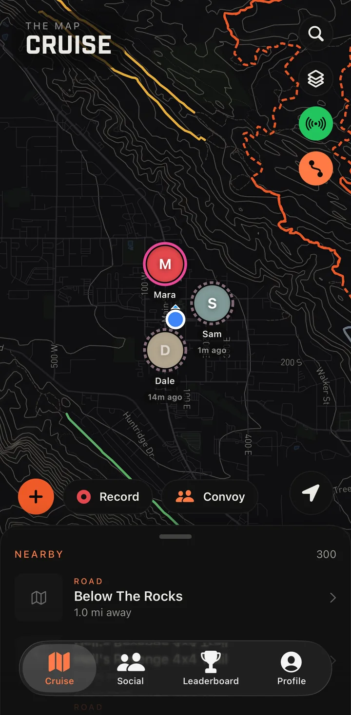
Start a convoy from any run — no destination needed. When a driver drops out of signal, Ohver keeps them on your map where they were last seen and shows how long ago, instead of making them vanish. Pair a Meshtastic radio and positions keep moving with no cell service at all.
Count trails, not speed.
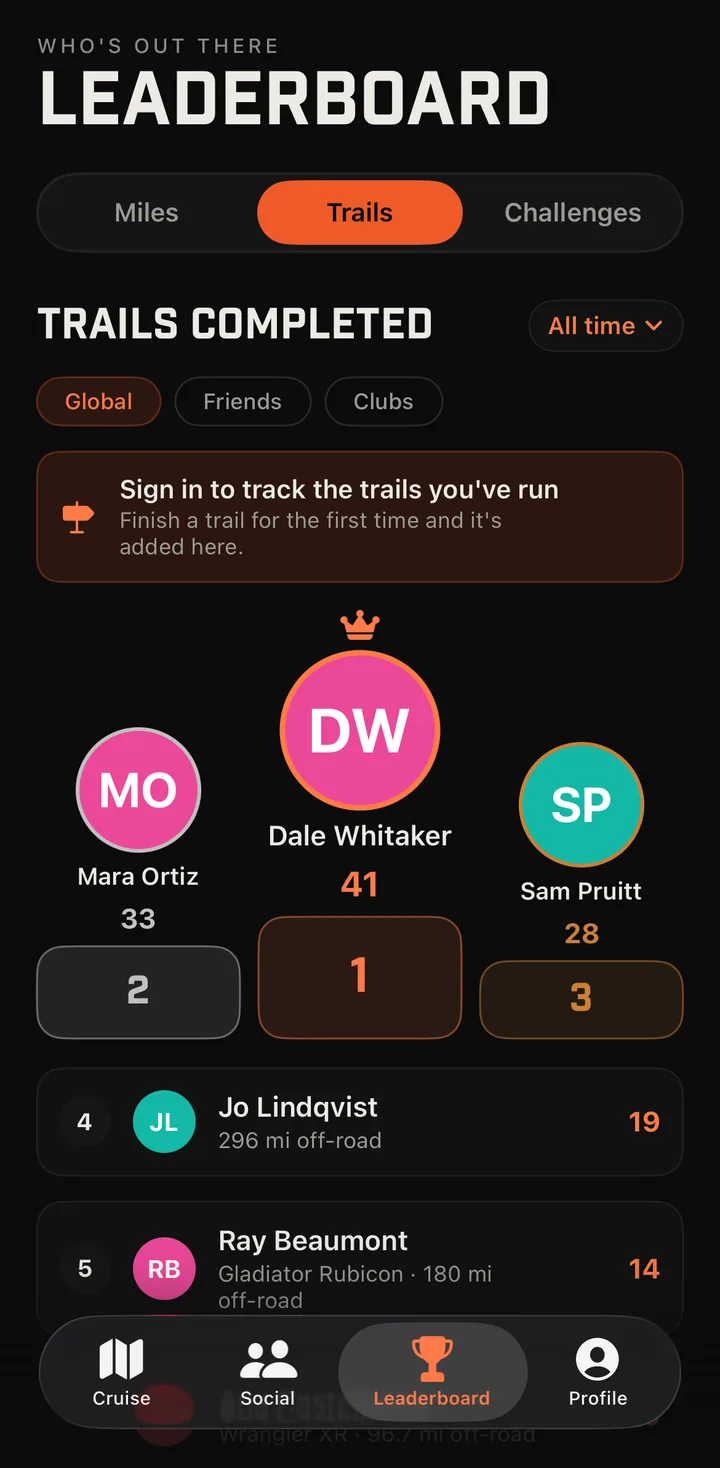
Leaderboards rank the different trails you’ve completed and your off-road miles — roads to and from the trailhead don’t count. Nothing in Ohver ranks speed.
Also in Ohver: CarPlay · Trail back, which guides you back along your own track with no signal · Trail reports from other drivers · Events and clubs
A map, not a rescue service.
The SOS button alerts the other drivers in your convoy. It doesn’t contact 911 or search and rescue. When you’ll be out of coverage, carry a satellite messenger and tell someone your plan and return time.
A trail on the map isn’t permission to drive it. Check closures, permits and land-manager rules before you go, and stay on designated routes.